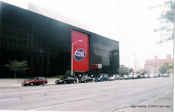
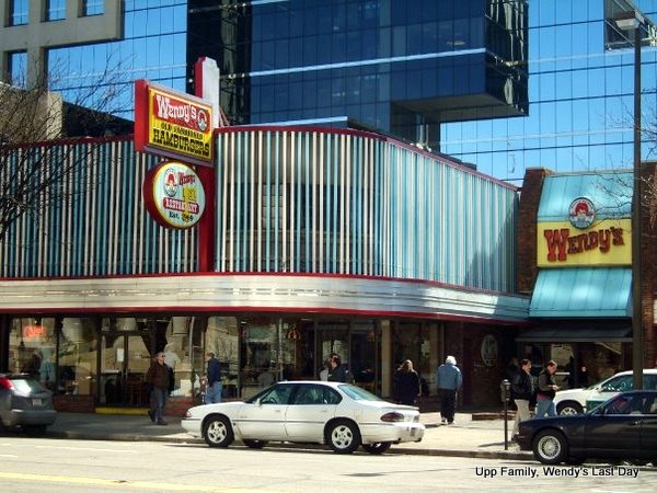
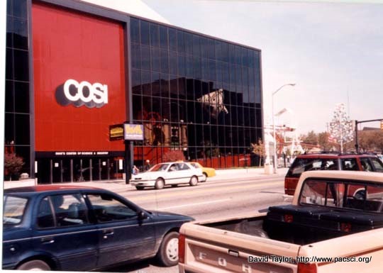
We're across the street from COSI. If we were lucky, we were be able to park at one of the two parking lots right next to COSI. If we weren't and it's a busy day, we might have to walk a bit. On this side of the street is the original location of Wendy's. On the other is COSI.
There are three ways to move around the Virtual Trip, 1. Click the options below the pictures, 2. On pages with a map at the bottom (every page except the ones outside), you can click on the location on the map you want to go, 3. On pictures that are yellow, you can directly click the picture for some places to go. On this page, you can click the COSI's or Wendy's door to go up to the building.
Did you Know? "The building was divided into fire zones and paid team members were trained on clearing their assigned zones in the event of a fire or other evacuation. A red plastic tag with a white number on it hung somewhere in each of these zones. During an evacuation, when a team member had cleared the zone that he was in charge of, he took the tag with him outside and gave it to the on-duty Visitor Services Supervisor. During an evacuation, the VSS always carried a large board with pegs labeled with each of the fire tag numbers. When a tag was turned in, it was hung on the board. This made it easy to know which zones in the building had not been checked." In total there were 21 fire tags. (1)
Click here to come back to COSI at night. Around the Neighborhood
Head west to St. Joseph's Cathedral.
Walk east to the Christopher Inn.
Explore Broad Street.
1: Information came from Miriam Leland. Thank you Miriam.